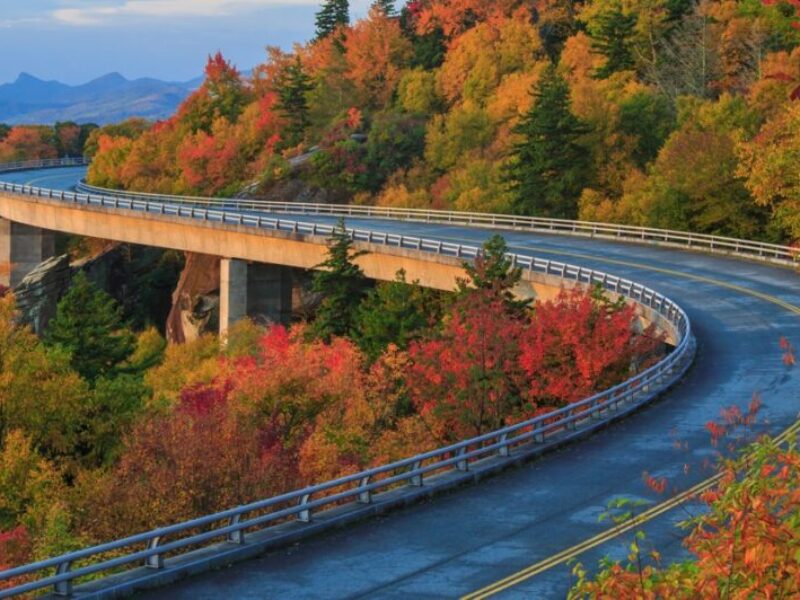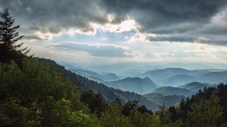
This series was created as a way of highlighting the beauty of the Blue Ridge Parkway and to show many of its recreational opportunities. A Blue Ridge Parkway experience is unlike any other: a slow-paced and relaxing drive revealing stunning long-range vistas and close-up views of the rugged mountains and pastoral landscapes of the Appalachian Highlands. The Parkway meanders for 469 miles, protecting a diversity of plants and animals, and providing opportunities for enjoying all that makes this region of the country so special.
This project was inpired by the geocaching adventure series along Route 66. There are currently several similar series active and in the works.
The geocachers who are working on this series have taken much of their time to travel sections of the parkway and research their locations to put together enjoyable adventures.
Terrain note: Many of the locations will require a short or longer walk. Some locations will not be accessible by wheelchair.
Access to the parkway is available from many locations. It is important to know if the Parkway is open before you visit, especially between November and March. Be sure to check the status of the motor road on our road closures page.
Please observe all posted speed limits and other traffic/warning/parking signs. Most trailhead, parking, picnic area, camping and other location signs will list rules and regulations, please read and follow those.
All sections of this series are available. The Skyline Drive in Virginia is not a part of this project, but would make another excellent adventure series. hint, hint.
Cell service in many areas is spotty or non-existent.
You can still do an Adventure by downloading it from a location where you have good service, and then NOT CLOSING IT. Go through each of the locations and make sure your phone sees that you get inside the radius where you need to answer the question, but don't answer it right away. Proceed to the next location and do the same thing. You can wait until you are in a spot where you have cell service to actually answer the questions. Geocacher gsmx2 has written an excellent guide for doing this and a training video as well.
Many thanks go out to the geocachers who are making this possible. It takes time and a lot of driving to complete the research necessary to identify and document up to 10 locations in each section of the Parkway. The geocachers below have taken on the challenge and own one of the Adventure Labs in this series. charchoc countrygirl212134 cphenly DewPoint52 Elliots4 FeatheredFriends GoPlay0utside Lilyfrog04 Maingray mclem829 mnloon Moou35 ncbiscuit Night-Hawk nittany dave PA Ladi Skyhawk steve-n-kim Team FairCorn tncorgi vilstudio/racewalker wncsteph
All sections of the BRP have a person assigned. Skyline Drive in Virginia would be another possible area to continue the adventure. If anyone is interested in leading that effort and has any getting started questions, contact nittany dave.
Thanks go to the North Carolina Geocachers Organization (NCGO) who is hosting this page. The creaters of these adventure labs are responsible for the contents of each. NCGO had no part selecting locations, approving or reviewing, recruiting participants or any other aspect of their creation.